Nine scooter routes across St. Kitts, from a short run to Frigate Bay to the full circuit of the island. We ride each one, time it and, for cruise visitors, set a latest safe turnaround point before its page goes live.
Most cruise visitors have time for Timothy Hill or Frigate Bay. Six to eight hours ashore opens up Cockleshell Beach and the Southeast Peninsula. The full island loop needs a stay-over. We say so at booking rather than let you find out at the halfway point.
Which route suits your day?
Difficulty here means gradient, traffic and surface. A short steep route can be harder work than a long flat one.
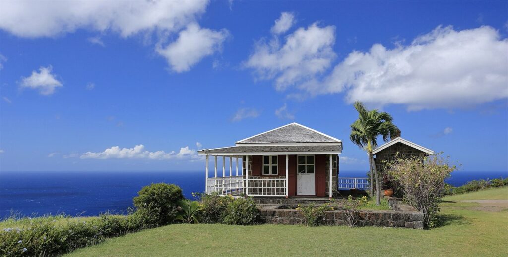
Photo by Martin Falbisoner, CC BY-SA 4.0, via Wikimedia Commons
St. Kitts Island Loop
The full circuit: Basseterre, the north coast, Brimstone Hill, Black Rocks and back. The longest route here, and the only one that goes the whole way round.
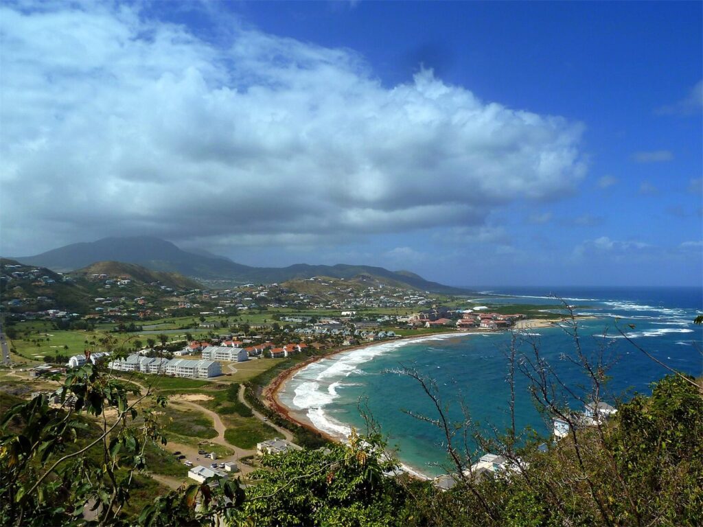
The full peninsula run past Timothy Hill to the southern beaches. Sea on both sides for most of it, and little shelter from the wind.
Half-Day Cruise Route
A packaged option for ships in port under six hours, built around the turnaround point rather than the destination.
Full-Day Cruise Route
For long port calls. Gets close to the island loop without the risk of running out of buffer.
Build note - remove before launch
How route pages get made
The template
The island loop page is the approved route-page design. It is saved as an Elementor Free section template and duplicated for every other route.
Elementor Free has no Theme Builder and no loop grid. Route pages therefore do not populate automatically, and nothing on this site claims they do. Each one is a real page someone made.
A custom post type with custom fields would automate this. It is a separate project needing its own approval, and brief section 24 bars introducing it during the initial build.
Content checklist for a new route page
Route name
Starting point
Destination
Map
Distance
Riding time
Total time
Difficulty
Hills
Road conditions
Petrol
Parking
Restaurants
Restrooms
Attraction fees
Opening hours
Weather exposure
Mobile signal
Cruise return buffer
Latest safe turnaround
Real photographs
Last physically checked
Booking CTA
A route page is not published until every item is filled and the route has actually been ridden.
Pick a route when you book
We plan the route with you at handover, against the weather on the day and the time you have to be back.